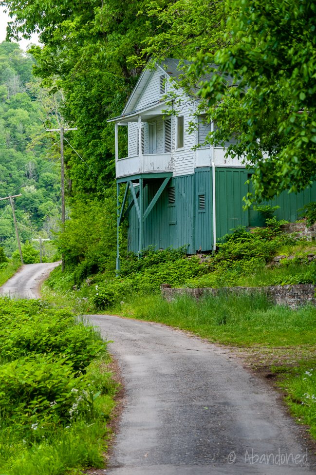
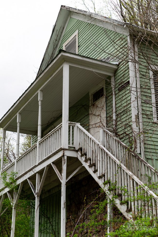
Ghost towns along the New River in West Virginia are aplenty but what makes these three unique is that they lay within the New River Gorge National River. Prior to the creation of the national park in the late 1970s, much of the land was used for the production of coal and coke. Small, company-owned towns were developed for the miners and their families, and when those mines closed out—so did the communities.
Kay Moor
Kay Moor features the ruins of a small community of 110 residences, a large coal mine entrance, and a processing plant. The town is located at Kaymoor Bottom along the Chesapeake & Ohio Railroad, while the mine portal is located 560-feet above along the Sewell Bench. The mine serviced the New River Coalfield’s 36-inch Sewell Seam, a low-volatile bituminous coal seam that was “smokeless.” Kaymoor Top is located at the top of the ridge and served as the terminus for the mountain haulage.
The mining site was developed in 1899 and featured inclines, a tipple, a processing plant, and coke ovens. The company town ceased to exist after 1952 and most of the buildings, including the residences and company store, burned in a fire in 1960. The mine itself closed in 1962.
Kay Moor is accessible today by several hiking trails. Find out more about Kay Moor, including directions and maps, at American Byways >


Nuttallburg
Nuttallburg features a disused coal mining venture that was spawned out of England-born entrepreneur John Nuttall. It was the second mining town in the gorge to ship “smokeless” coal. Nuttall’s first mine opened at the confluence of Kenneys Creek and New River in 1870 followed by a second mine along Short Creek in 1874.
Of notability is the long-abandoned suspension bridge that crossed the New River built by the Roebling Bridge Company in 1899.
Nuttallburg is accessible today by a hiking trail, a rail-to-trail, and an improved one-lane road. Find out more about Nuttallburg, including directions and maps, at American Byways >


Fayette and South Fayette
Both located beneath the New River Gorge Bridge, Fayette was a company town developed by the Fayette Coal & Coke Company while South Fayette was home to local railroad operations for the C&O. The mines were later operated by the Hood Coal Company until the mid-20th century.
Fayette and South Fayette can be accessed by the Fayette Station Road. Find out more about Fayette and South Fayette, including directions and maps, at American Byways >


Thurmond
With a population of just five people, it is hard to imagine that Thurmond was once an important stop for the Chesapeake & Ohio and the center of commerce. A passenger depot, freight station, engine house, water tank, coal and sand towers were constructed. To supplement this surging activity, houses began to line the hillside along New River, followed by the large Dunglen hotel, New River Banking and Trust Company, Armour Meat Company meat-packing plant, stores, boarding houses, and eateries.
Thurmond is accessible from a narrow, twisting road from Glen Jean. Find out more about Thurmond, including directions and maps, at American Byways >


2 Comments
Add Yours →My father grew up on Thurmond. My grandmother called it Thurmond mountain. My dad and his dad worked at the Sun Sand Plant that was south (east) down the road from Thurmond. I have photos to share if you would like of the plant. Finding its location has proved to be difficult despite its backdrop of the New River. All of the buildings in his photographs are of wood construction and my bet is that most are gone or have sucumed to the forest. My last attempt to visit my father’s childhood home was made impossible as the road was taken out by a landslide.
David
David, We visited there a few years ago and the pictures here are what we seen. My great-grandparents came to Thurmond from Germany to work in the mines. The town was used for a movie and all the buildings are clean and painted. There are only a few homes left scattered around. I loved walking around with my aunt and seeing it all.